
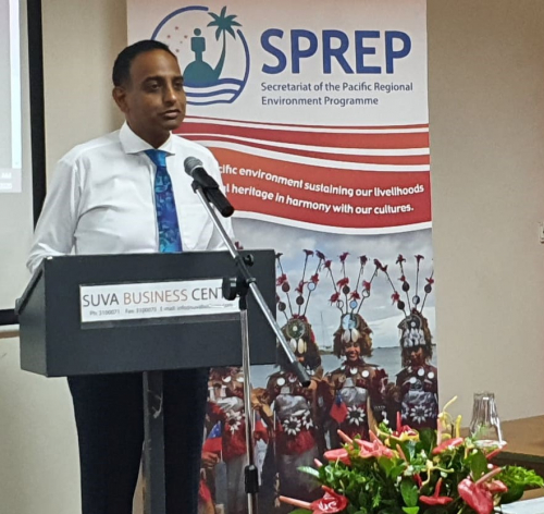
8 July 2020, Suva, Fiji -The Secretariat of the Pacific Regional Environment Programme (SPREP) in partnership with the Fiji Meteorological Service today presented a series of climate projection maps for Fiji to Permanent Secretaries at a function held at the Suva Business Centre in Suva.
The maps provide projections, using models based on data collated by CSIRO, of the average temperatures, annual rainfall and average rainfall for the wet and dry seasons for different parts of Fiji for the years 2050 and 2090. They are visual representations of more complex data and can be used for planning in various government sectors as well as at the local/community level.
Speaking at the opening of the event, Permanent Secretary of Waterways and Environment, Mr Joshua Wycliffe commented that in order to make sensible adaptation decisions, decision makers need to understand how the climate might change and what risks this will pose to our development priorities.
“Understanding how the climate will be behaving in the future will help agencies adapt their policy making and resources including our budgets, recruitment of personnel and determining what type of training they will need for the future.”
The importance of integrating nature based solutions in helping communities address impacts of climate change was also highlighted.
Permanent Secretary for Infrastructure and Meteorological Services, Mr. Taitusi Vakadravuyaca stated that 2016 and 2019 were globally the warmest years on record. Fiji’s average temperature has increased by 0.9 degrees Celsius between 1959 and 2019. He highlighted the need for people to be able to understand the implications of these changes and projected changes.
“One of the most effective building blocks for effective climate change adaptation is climate change science and projections,” he said.
“The climate projection maps are a visual tool to help communicate and promote understanding at the local level of the projection information. They will help in greater uptake of climate change projection information in planning and decision making in areas such as agriculture, infrastructure development and disaster management.”
Mr Herman Timmermans Project Manager for the Pacific Ecosystem-based Adaptation to Climate Change Project (PEBACC) said, “Currently data is presented at national level only and projections are technical and not effectively communicated or understood in terms of practical relevance to those who would benefit from this information.”
Mr Bipen Prakash of Fiji Meteorological Service, discussed the types of data and the modelling methodology used to develop the projections. He highlighted the progress over the years that has resulted in the availability of more precise “higher resolution” global climate models, which enables projections to be made for specific locations within a country.
This has great significance for a country like Fiji, which has communities spread across a wide area.
Overall the projections show increased average temperatures across the 23 locations for which data was available. Higher rainfall is projected during the wet season for these locations. Mr Prakash cautioned that these are projections which will be refined as understanding on climate dynamics and more data becomes available.
A key point highlighted during discussions was the need to obtain observation data from more locations across Fiji and the Fiji Meteorological Service urged agencies represented to consider helping to collect and share data from those remote areas where they may have access.
Attendees also discussed the various ways in which the maps could be used at community level and their possible distribution to areas where they are most needed.
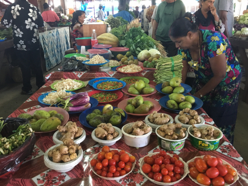
Ms Leba Gaunivinaka from the Common Sensing Project showed how the climate projection data can be used to show impact on specific sectors such as the sugar industry.
“It can be used as a prediction tool to assist farmers around investment planning and diversifying production,” she explained.
She noted the rising temperatures will mean changes to environmental conditions, threatening farmers’ ability to sustainably produce and maintain quality crops/commodities.
The data will be available freely and a suitable space for housing it will be explored.
The SPREP-PEBACC project was applauded for its initiative in developing the maps and giving the datasets meaning to the average Fijian.
The series of maps can be accessed here.
The Pacific Ecosystem-based Adaptation to Climate Change Project is a five year initiative implemented by the Secretariat of the Pacific Regional Environment Programme (SPREP) in partnership with the governments of Fiji, Solomon Islands and Vanuatu. The project is part of the International Climate Initiative (IKI). The German Federal Ministry for the Environment, Nature Conservation and Nuclear Safety (BMU) supports this initiative on the basis of a decision adopted by the German Bundestag. The Project focuses on strengthening and protecting the role of natural ecosystem services to enhance resilience to climate change.
For more information on the modelling and available data, contact Mr Terry Atalifo, Principal Climatologist, Fiji Meteorological Service on phone number +679 9904395 or email: terry.atalifo@met.gov.fj