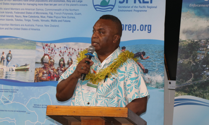
Message from Mr Jope Davetanivalu, Director of Environmental Governance, Secretariat of the Pacific Regional Environmental Programme (SPREP).
Happy GIS Day 2025!
On this year’s global day for celebrating Geographic Information Systems (GIS) and the power of location intelligence, the Secretariat of the Pacific Regional Environment Programme (SPREP) proudly joins the global celebration with the theme, "Our Geo-Generalist Era: Where Spatial Meets Everything." For the Pacific, this theme resonates deeply, as GIS is no longer just a specialist tool—it's an essential navigator for our efforts to combat the triple planetary crisis: climate change, biodiversity loss, and pollution.
The vast, intricate geography of the Pacific—from the highest volcanic peaks to the deepest ocean trenches—presents unique environmental challenges. GIS provides the foundational intelligence we need to understand, monitor, and manage these challenges effectively.
At SPREP, we use geospatial technology to empower our member countries and territories to make evidence-based decisions across critical sectors:
- Climate Change Adaptation: GIS is vital for visualising and quantifying vulnerability. By mapping coastlines, sea-level rise projections, and disaster-prone areas, we can identify communities most at risk, informing the development of resilient infrastructure and strategic relocation plans. Recent initiatives focus on using Earth Observation (EO) and GIS to strengthen capacity in measuring and monitoring climate risk data.
- Biodiversity Conservation: From creating Marine Spatial Plans (MSPs) for Exclusive Economic Zones (EEZs) to precise mapping of Protected Areas (PAs) and managing terrestrial ecosystems, GIS helps us safeguard our region's unique natural heritage. It provides the spatial data necessary for effective ecosystem monitoring and management.
- Waste and Pollution Management: SPREP leverages GIS to track pollution hotspots, manage disaster waste, and support the strategic implementation of regional initiatives like the Cleaner Pacific 2025 strategy. Knowing the where of pollution is the first step to cleaning up.
The true strength of GIS in the Pacific lies not just in the software, but in the people using it. SPREP is committed to breaking down data silos and nurturing a regional network of spatial thinkers—individuals who can apply geographic insight across diverse fields.
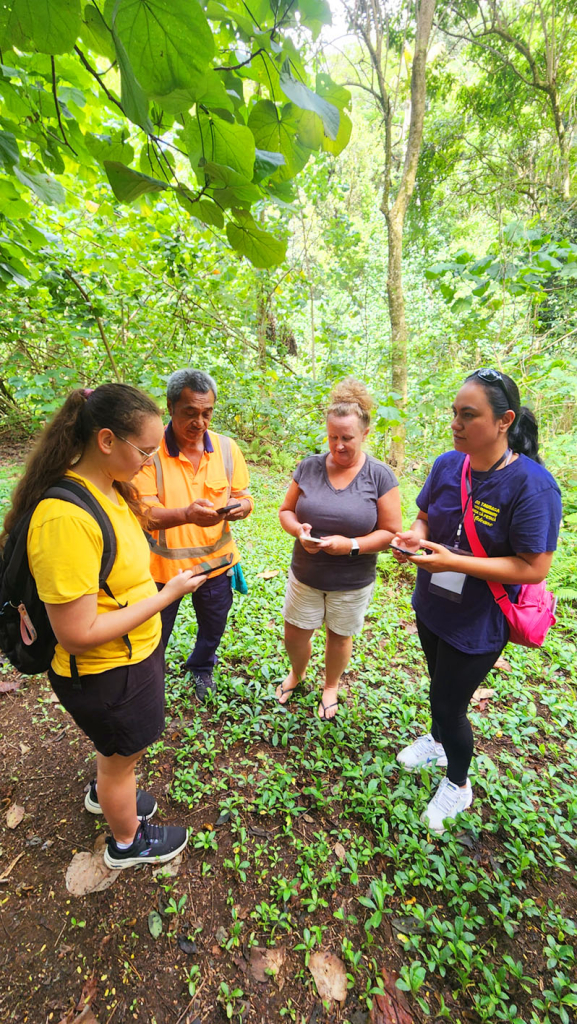
Through our projects, we are continually rolling out capacity-building workshops across the region. These trainings equip local government officers, community leaders, and young professionals with the skills and confidence to use free and open-source software like QGIS for hands-on data collection, analysis, and map production. This ensures that the power of mapping remains in the hands of the Pacific people who knows their Islands best.
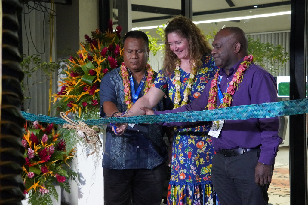
This year's celebration gains special significance with the recent launch of the Emma Luke Regional Earth Observation Centre (ELEOC), housed at SPREP’s headquarters in Samoa. The Centre serves as a powerful testament to the theme that spatial meets everything.
The ELEOC is a dedicated regional hub for environmental monitoring and geospatial innovation. It honours the memory and pioneering work of the late Ms. Emma Luke, who championed the role of Pacific countries in leading Earth Observation (EO) conversations.
This facility is designed to strengthen EO capability across the region, bridging crucial data gaps, and enabling Pacific Island Countries and Territories to make informed environmental decisions through:
- Improved data access to satellite imagery and remote sensing products.
- Knowledge exchange and collaborative problem-solving.
- Enhanced skills development for Pacific geospatial practitioners in satellite data interpretation and spatial analysis.
The Centre directly integrates Earth Observation data with GIS platforms, transforming complex satellite information into actionable insights that empower leaders, help communities prepare for hazards, and ensure Pacific voices are amplified on the global stage.
GIS Day each year is a powerful reminder that every map and every layer of data, are tools for impactful storytelling and action that allows us to connect people, places, and problems with viable solutions.
As we look ahead, SPREP will continue to strengthen regional partnerships, promote data sharing, and invest in the geospatial capacity of our member countries. By harnessing the power of location, we can collectively secure a resilient, healthy, and sustainable future for the Blue Pacific Continent.
Happy GIS Day to all our partners and Pacific geo-pioneers!
This SPREP column from Mr Jope Davetanivalu is in celebration of Global GIS Day, an annual event held in November each year to promote awareness of geographic information systems (GIS) technology and its applications. Celebrations include events like workshops, map exhibitions, and lectures worldwide, highlighting how GIS helps address global challenges. The day is part of Geography Awareness Week and was first celebrated in 1999.