
Rainfall should be near its usual levels across the Pacific over the coming three months, according to the latest release of the Island Climate Update.
Sea Surface temperatures across the Pacific are still slightly warmer than usual, but have cooled further away from El Niño conditions. Average wind patterns across the equatorial Pacific also indicate that the Pacific is moving further from an El Niño.
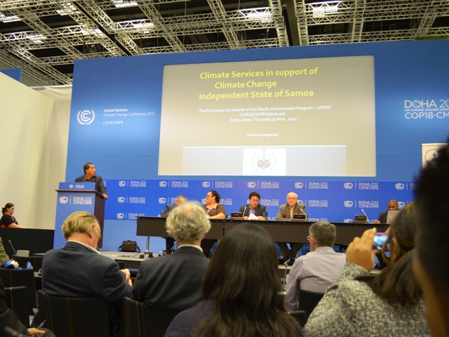 Presentation on the role of the Meteorological Service in support of climate change in Samoa
at the Pacific Voyage Side Event at the UNFCCC COP 18 in Doha, Qatar
In addition, the South Pacific Convergence Zone, which stretches from northern Papua New Guinea to the Cook Islands and is a strong control for rainfall in the Pacific, is forecast to be slightly south of its usual position.
This means that the rainfall over the coming wet season months should be close to that usually experienced for most Pacific Islands.
Most climate models indicate it is becoming increasingly unlikely that an El Niño will develop over the coming summer season.
The Island Climate Update is a three month climate outlook produced by the Pacific Island Meteorological Services, NIWA and SPREP. It is released at the start of each month. Please contact your local meteorological service or see www.islandclimateupdate.net for more details.
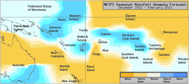 The expected difference in rainfall from usual conditions over the coming months across the Pacific Islands.