1 December 2025, Yaren - Nauru’s capacity to collect, analyse, store and share high-quality geospatial and environmental datasets, an essential foundation for evidence-based national planning in a country facing some of the most acute climate vulnerabilities in the world, is being strengthened.
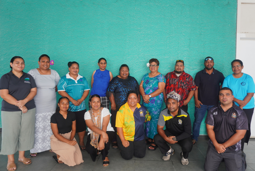
In Yaren district, a week-long Geospatial Information Systems (GIS) and environmental data management training is underway jointly facilitated by the Secretariat of the Pacific Regional Environment Programme (SPREP) through its Environmental Governance Programme and the Nauru Department of Environment.
Held from 1–5 December, the training brings together national technical officers and practitioners working across climate resilience, fisheries, disaster management, land, environment conservation as well as non-governmental organisations like Eco Nauru.
Ms Anes Debao, of Nauru Department of Environment, emphasises the importance of building strong data foundations for national planning.
“Technical capacity in GIS and data management is not just about improving mapping skills it is about strengthening our ability to anticipate climate impacts, allocate resources effectively and support sustainable development,” she said.
“When we transform raw environmental data into clear insights, we empower decision makers to make informed environmental decisions.”
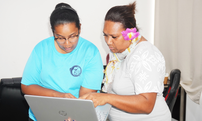
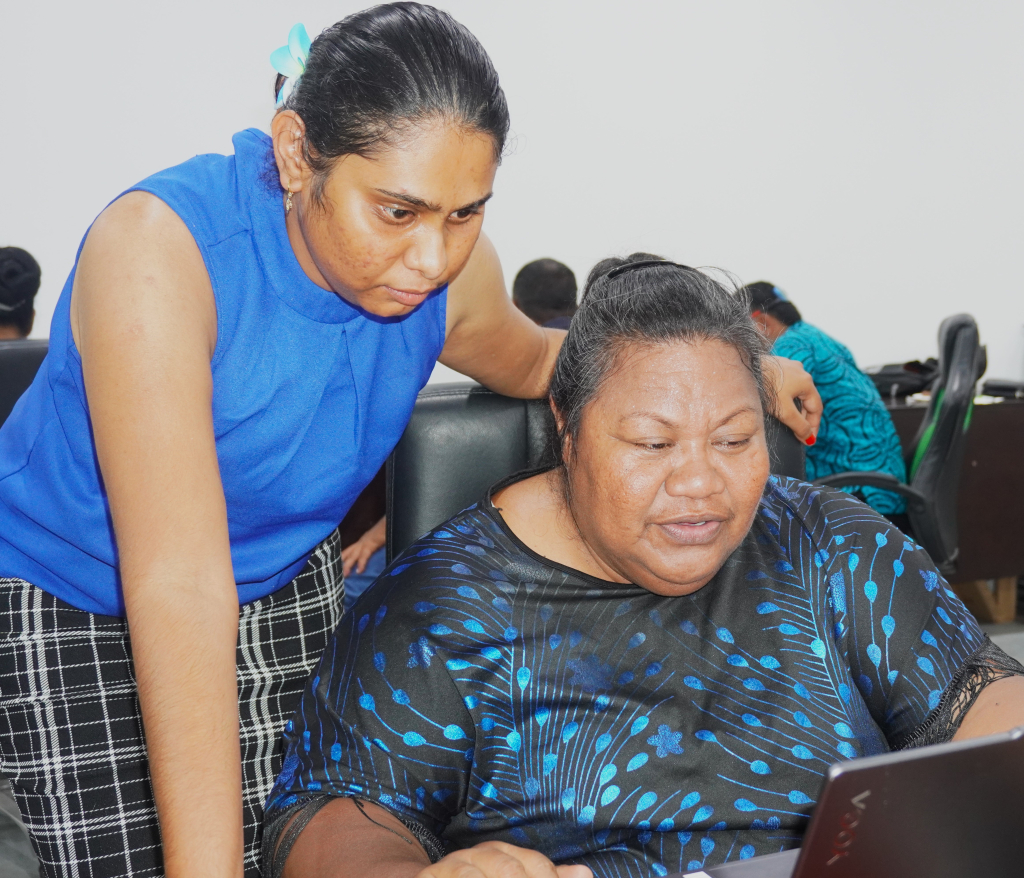
Throughout the week, participants are being introduced to GIS workflows, from mobile data capturing to creating mapping outputs as well as data harmonisation techniques, metadata standards and earth observations applications that support consistent environmental monitoring across agencies such as the Nauru Environment Portal.
One of the components of the training is a hands-on field exercise, where participants will be guided through real-world data collection outdoors, followed by data analysis and mapping to turn raw geospatial data into meaningful environmental insights.
Participants will also be re-introduced to the Nauru Environment Data Portal, the country’s national repository for environmental datasets, building practical skills in updating, validating, and maintaining the portal to ensure national data remains current, accessible, and decision ready.
The training is framed within the broader regional context, recognising that Pacific Island countries share common challenges such as limited land area, intensive climate exposure, fragmented datasets and staffing constraints in technical fields.
Strengthening environmental data governance in Nauru contributes to wider regional efforts to harmonise environmental information and reinforce environmental reporting obligations under regional and global agreements.
SPREP’s GIS specialist, Ms Vani Koroisamanunu reiterated that data becomes powerful when it is shared, understood and applied.
"By strengthening Nauru’s technical capacity, we are supporting not just the country’s environmental governance today but laying the groundwork for how Pacific nations collectively respond to accelerating climate impacts in the years ahead,” she said.
The five-day training culminates in participants presenting their mapping and analysis outputs, demonstrating the practical skills gained throughout the week.
The Nauru GIS and data capacity building is made possible through funding support from the ACP MEA Phase III project as well as the New Zealand Ministry of Foreign Affairs and Trade (NZMFAT) SPREP Climate Change (Policy, Operational and Advisory and Enabling and Support).
For more information on the GIS training in Nauru, please contact Ms Vani Koroisamanunu at vanik@sprep.org and Ms Kasaqa Tora at kasaqat@sprep.org
For more information regarding the Nauru Environment Portal, please contact Ms Lagi Reupena at lagir@sprep.org and Mr Tavita Sua at tavitas@sprep.org