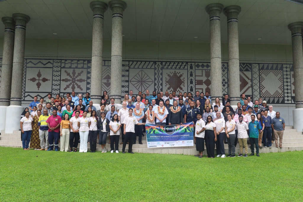
18 December 2025, Suva - The 2025 Pacific Islands GIS and Remote Sensing User Conference, reputably the largest Geographic Information System (GIS) and Remote Sensing (RS) conference in the Pacific, has added another layer of strength to Geospatial Networks that will help address some of the region's most pressing challenges.
Held from 24-28 November 2025, the event hosted by the Pacific GIS and Remote Sensing Council (PGRSC), provided a platform for users from Pacific Island Countries, satellite data and consulting enterprises, and scientists from universities and research institutions to engage and discuss projects, news, and challenges involving spatial data and techniques.
The 2025 conference theme was "Building and Enhancing Geospatial Networks in the Pacific Islands", and it continued the PGRSC's tradition of providing a crucial meeting ground for the regional geospatial community, building on the success of previous years.
"This year's focus on 'Building and Enhancing Geospatial Networks in the Pacific Islands' is central to our mission," said Mr Bradley Eichelberger, Chair of PGRSC.
"For over twenty years, this conference has been the definitive platform for the Pacific's geospatial community, ensuring that we continue to leverage spatial data and technology to address our region's most pressing challenges."
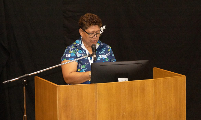
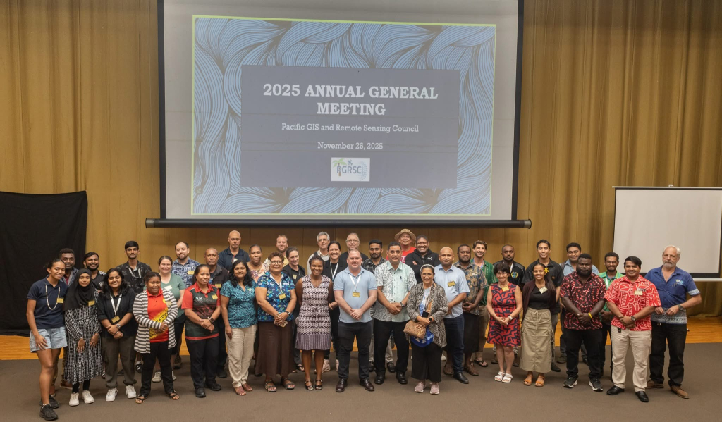
The conference facilitated interaction and engagement between GIS and RS users from nearly all Pacific Island Countries, alongside vendors and researchers. A dedicated day was provided for a capacity building and information sharing workshops for all users.
The PGRSC offers substantial inter-country networking opportunities to promote information exchange through their website (www.pgrsc.org), webinar series, GIS-PacNet listserv, and the Pacific Islands GIS and RS Newsletter. The conference actively promotes Earth Observation and other spatial developments for the region.
The Secretariat of the Pacific Regional Environment Programme (SPREP) actively engaged in the conference, strengthening regional geospatial capacity and collaboration, particularly through the new regional Emma Luke Earth Observation (EO) Centre. This collaboration through bilateral meetings with Software vendors and EO Data providers opened new opportunities.
The participation of Mrs. Kasaqa Tora, Spatial Analysis Specialist, and Mrs. Vani Koroisamanunu, Environmental GIS Specialist, focused on promoting the Regional EO Centre and enhancing collaboration.
Through the collaboration with Open-Source software providers, opportunity for support to carry out community training on the QGIS application was initiated which will be followed-up early next year.
Reflecting on the experience, Mrs. Tora said: “I can say that the bilateral meeting with open-source software providers and participating in the workshop opened an opportunity to learn new advanced applications in QGIS. The discussions also allowed me to learn about new initiatives and support available to help countries build capacity in QGIS."
The conference acknowledged the significant support provided by regional partners, particularly SPREP, recognising their role as crucial to achieving the goal of promoting spatial development in the Pacific.
“The Emma Luke Earth Observation Centre at SPREP is a legacy of partnership and Pacific leadership, empowering countries to move from data dependency to data ownership and ensuring satellite data is accessible, meaningful, and usable for decision-makers,” said Ms Vani Koroisamanunu.
She added, aligning with the conference theme, “SPREP, in collaboration with the Pacific Community (SPC), has established the Pacific Earth Observation Network (PEON) to bring countries and partners together, strengthen regional collaboration, and advance the use of Earth observation data for evidence-based decision-making across the Blue Pacific.”
The Pacific GIS and Remote Sensing Council (PGRSC) is the host of the Pacific Islands GIS and Remote Sensing User Conference, which reputably hosts the largest Geographic Information System (GIS) and Remote Sensing (RS) conference in the Pacific. The Council works to promote Earth Observation and other spatial developments for the region.
SPREP’s participation was made possible through funding support from the African Caribbean Pacific Multilateral Environmental Agreements (ACP/MEA3) Programme Phase 3 alongside contributions from SPREP programs funded by the New Zealand Ministry of Foreign Affairs and Trade (NZMFAT) Climate Change Policy, Operational, Advisory, Enabling and Support.
To find out more about the NZMFAT Project, please contact Ms. Vani Koroisamanunu at vanik@sprep.org
For the ACP/MEA3 project, please contact Mrs. Anastacia Amoa-Stowers at- anastacias@sprep.org