

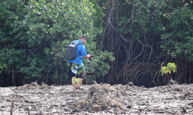
9 July 2026, Nadi - Stronger geospatial and environmental data management systems, empowers Pacific Island countries to address the triple planetary crisis of biodiversity loss, climate change and pollution. These strengthened systems improve monitoring, identify risks, and support evidence-based planning for the three interconnected threats that already place enormous pressure on Pacific ecosystems, livelihoods, food security and community resilience.
Against this backdrop, the Secretariat of the Pacific Regional Environment Programme (SPREP) launched a five-day regional training on Geographic Information Systems (GIS) and environmental data management in Nadi, Fiji.
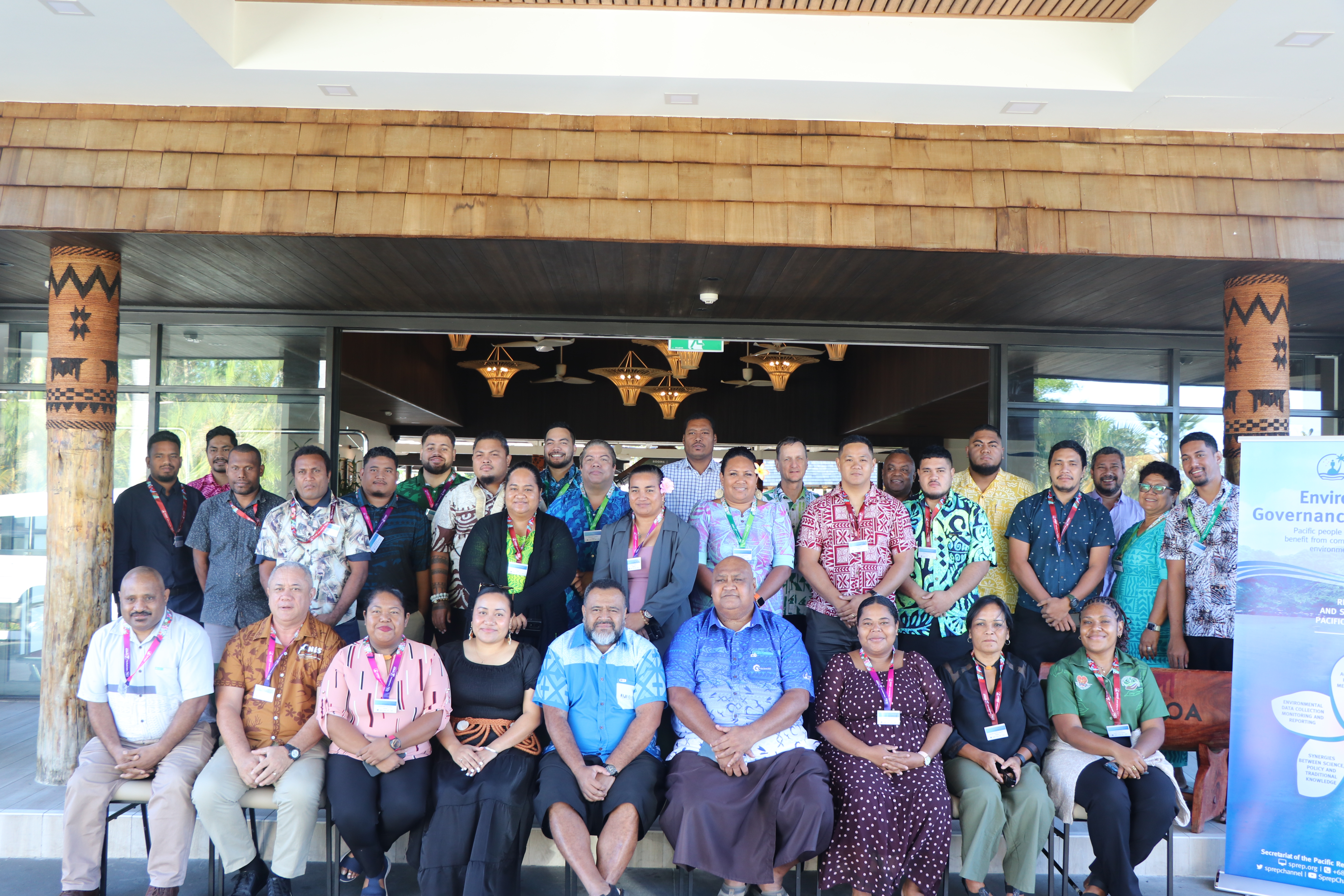
The training, from 29 June – 3 July, brought together 21 government environmental officers, GIS practitioners and spatial planners from across the Pacific Islands region.
“You are all here today in our joint endeavours to confront the urgent environmental issues that impact our region and the global community,” said Mr Sefanaia Nawadra, Director General of SPREP.
“GIS and the Pacific Environment Portal are some of the tools that help to management environmental data to inform, safeguard, engage, educate, raise awareness, change behaviours, and influence policies, planning and decision making at all levels while helping to bridge the gap between science, technical assessment and policy action.”
The training guided the participants through a carefully sequenced curriculum that builds from foundational knowledge to practical application, peer -to-peer collaboration, and the development of tangible outputs that participants can utilise to strengthen environmental governance in their respective countries.
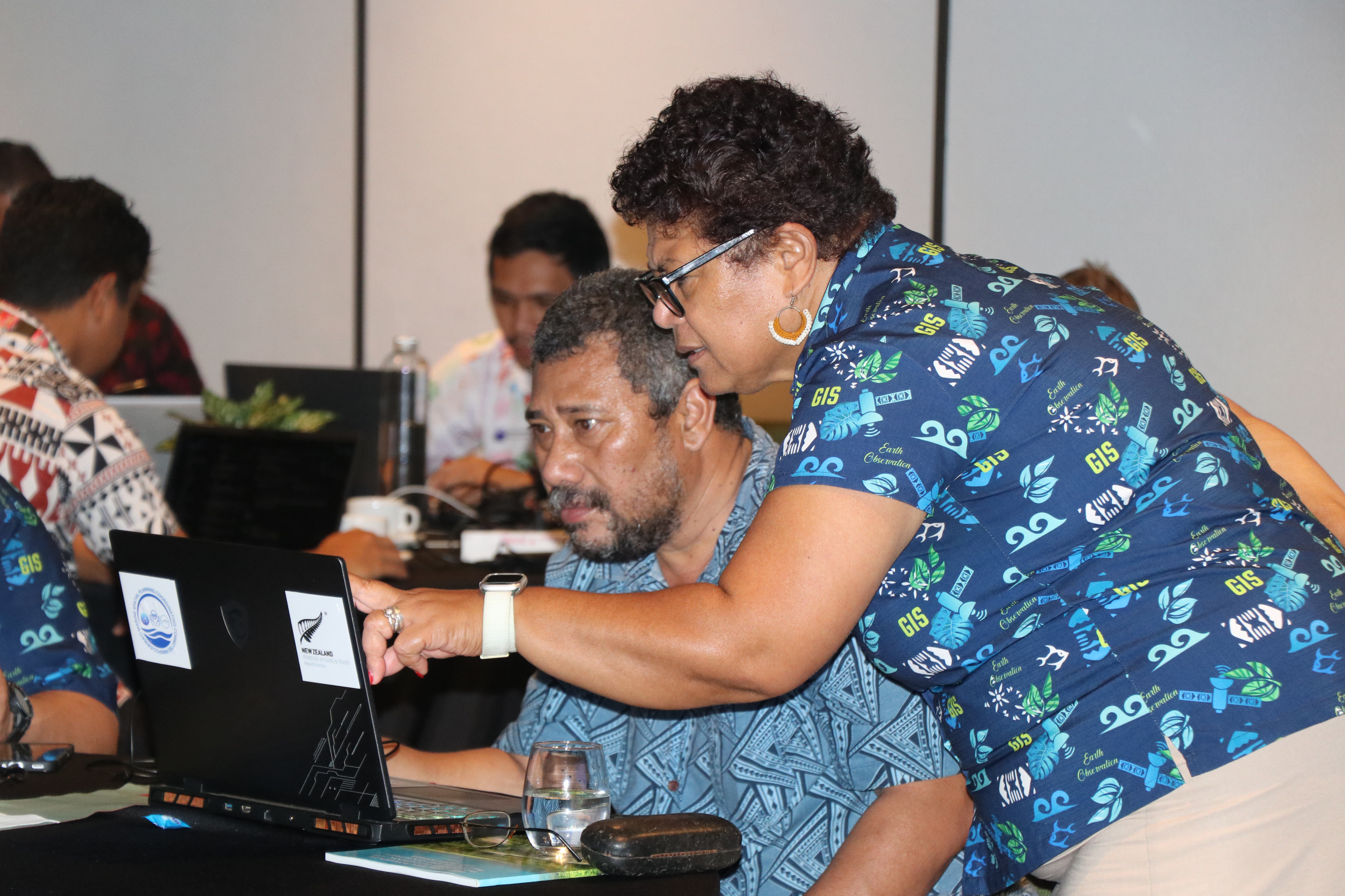
The programme featured hands-on, practical capacity building that responds directly to real-world challenges, including fragmented data systems, uneven technical capacity across the region and the lack of standardised protocols that have historically weakened ongoing environmental monitoring efforts.
Participants learnt how to enhance their national environment data portals to organise and store data more consistently, improve metadata and data-sharing practices. This ensures that critical environmental information is accessible to inform planning, reporting, and decision-making.
Participants also strengthened their practical skills in QGIS, the free and open-source GIS software widely used around the world to create maps, edit layers, analyse spatial information, and share results.
“Building confidence in QGIS fundamentals such as working with points, lines and polygons, managing attribute tables, applying symbology, producing map layouts and running analysis tools will enable practitioners to transform environmental observations into usable maps and decision-support products,” said Ms Kasaqa Tora, Spatial Analysis Specialist SPREP.
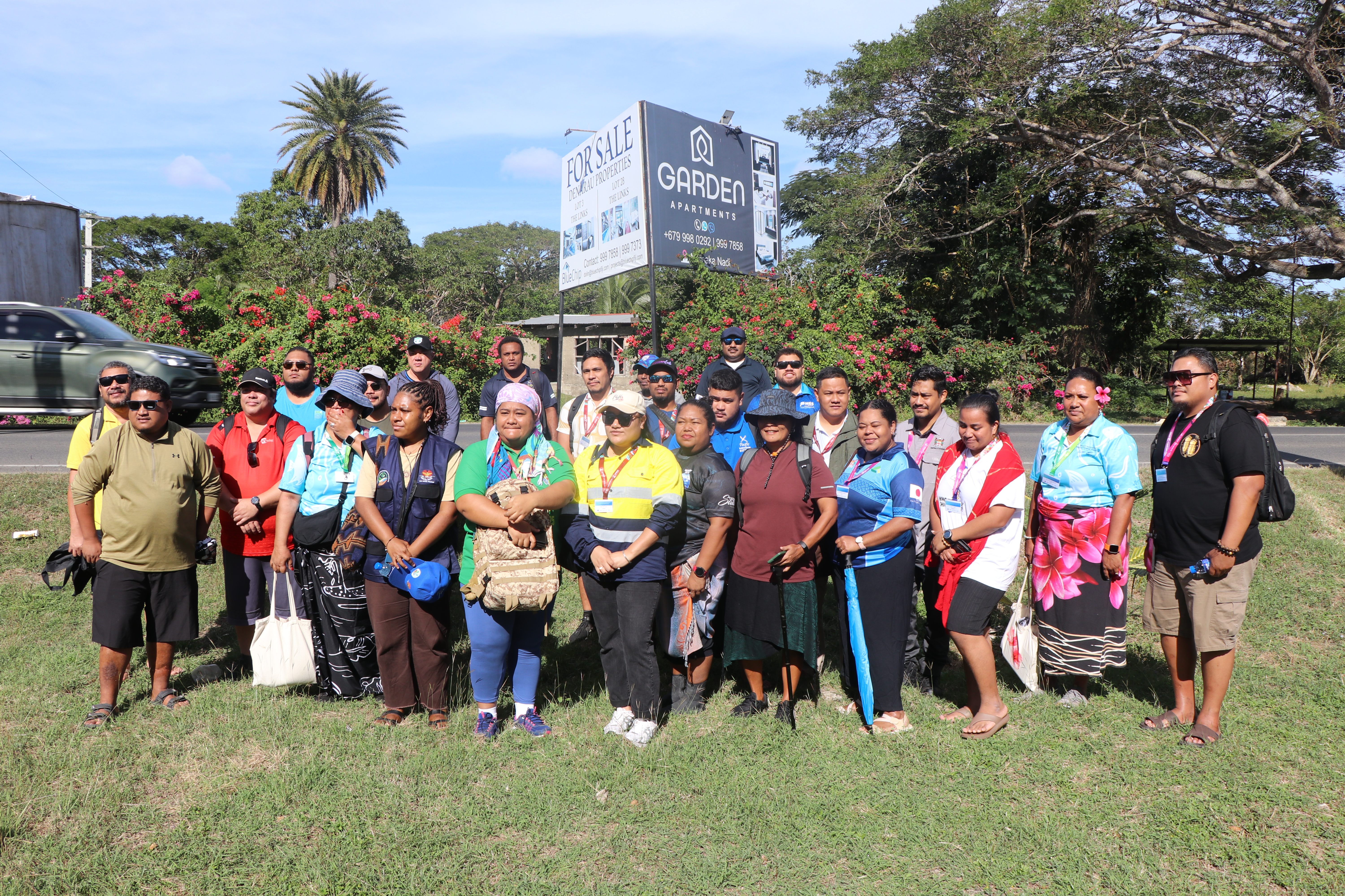
The regional capacity building initiative is an integral part of SPREP’s continuous commitment towards a more sustainable future for its Members. Through building stronger GIS capabilities this will improve environmental data management, and wider use of existing environmental data platforms such as the Pacific Environment Data Portal and the Pacific Islands Protected Area Portal.
“This will enable our Pacific islands to transform data into meaningful action. The knowledge and practical skills gained this week will help countries strengthen planning, support informed decision-making and deliver more effective responses to the triple planetary crisis,” said Ms Tora.
The Geographic Information Systems (GIS) and Environmental Data Management Training is held from 29 June to 3 July in Nadi, Fiji with delegates from The Cook Islands, Federated States of Micronesia, Fiji, Kiribati, Palau, Papula New Guinea, Republic of the Marshall Islands, Samoa, Solomon Islands, Tonga and Tuvalu.
It is made possible through the support of three projects implemented by SPREP. This partnership includes the EU funded Pacific BioScapes programme, which is building regional capacity for the integrated management of biodiversity and ecosystems across the Pacific. The New Zealand Ministry of Foreign Affairs and Trade Policy, Operational Advisory and Enabling Support project supports the operational and advisory dimensions of the Secretariat. The UNEP CISPac5 programme Enhancing Climate Information and Knowledge Services for Resilience in Five Island Countries of the Pacific Ocean that contributes its focus on making climate data and knowledge more accessible and actionable for Pacific Island governments.